Home »

Friday Highways Report for the East Kootenay
Friday Highways Report for the East Kootenay is a snapshot to give the travelling public a glimpse of what they may be heading into or out of this weekend. Quickly, regional highways feature a bit of everything today. Remain alert to changing conditions.
Highway 43
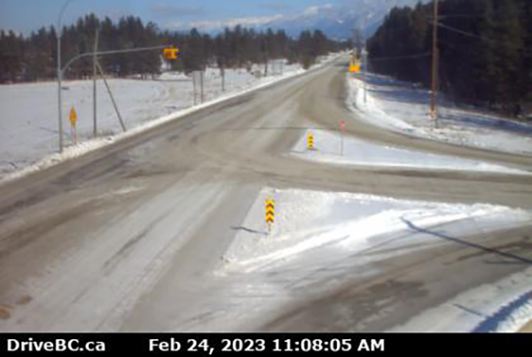
Black ice and winter driving conditions. (Pictured above: Line Creek/Highway 43.)
Highway 3
 Sparwood to B.C. and Alberta Border
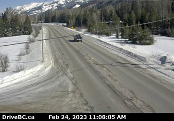
Winter driving conditions. Watch for slippery sections. (Pictured above: Highway 3 east of Sparwood.)
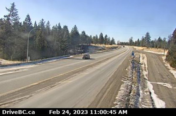
Winter driving conditions. Watch for slippery sections. (Pictured above: Highway 3 at Hosmer.)
Winter driving conditions. Watch for slippery sections. (Pictured above: Highway 3 at Morrissey, west of Fernie.)
Highway 3/93
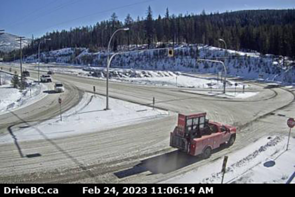
Vehicle incident between Caithness Rest Area and Helena Avene for 1.4 km (Elko). Single lane alternating traffic. Watch for traffic control. Between Elko and Wardner: black ice between Bull Road and Caithness Rest Area for 27.6 km (nine km west of Jaffray to one km west of Elko). Compact snow and winter driving conditions. (Pictured above: Highway 3 and 93 junction at Elko, looking west.)
Highway 3/95
Compact snow and winter driving conditions between Cranbrook and Moyie. From Moyie to Curzon Junction watch for black ice. Watch for slippery sections. (Pictured above: Highway 3/95 near Moyie.)
Highway 93/95
Fort Steele to Canal Flats
Compact snow between Back Road and Wasa Junction for 31.5 km (seven km south of Fort Steele to three km north of Wasa). Winter driving conditions to Canal Flats.
 Canal Flats to Radium Hot Springs
Winter driving conditions. Frost heaves. (Pictured above: Highway 93/95 at Canal Flats.)
Highway 95A
Compact snow. Winter driving conditions. (Pictured above: Cranbrook.)
Compact snow. Winter driving conditions. (Pictured above: Kimberley)
Highway 93
 Radium Hot Springs to Alberta Border
Watch for slippery sections. Compact snow. (Pictured above: Radium Hot Springs roundabout.)
Montana border to Highway 3
Black ice between B.C./US Border and Mission Fort Steele Road for 36.7 km (British Columbia and Montana Border to 25 km north of Grasmere).
Highway 95
Watch for slippery sections. (Pictured above: Highway 95 at Brisco.)
Black ice between BC/US Border and Sinclair Creek Loop Road for 11.2 km (Kingsgate to Curzon Junction). Winter driving conditions. Watch for slippery sections. Compact snow. (Pictured above: Highway 3 and 93 Curzon Junction at Yahk.)
 Kootenay Pass/Highway 3 (above)
PLEASE NOTE: Information contained in this report is taken from DriveBC and over the period of the day may become obsolete. Please consult DriveBC for the most up-to-date information. Or check e-KNOW’s home page to see regional highway cameras.
Lead image: Highway 93/95 and Highway 95 A junction at Wasa/Tata Creek. Images from DriveBC
e-KNOW


