Home »

City launches new public web map
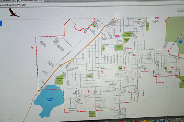
The hunt for information about your property and other local amenities is now simply a click or two away with the launch of the City of Cranbrook public web map.
City staff is asked a significant number of common questions from the public on a daily basis, which demonstrates a real need for this kind of service. Now from the convenience of your own home you can look up the answers to these questions.
Map layers include: community trails, parks and their respective amenities, City points of interest, transit schedules and bus stop locations, snow plow priority routes, zoning, garbage collection zone information and much more.
“We are asked regularly for maps of city amenities, trails and those types of things,” says Crystal Krefting, GIS Coordinator with the city’s Engineering and Development Services department. “People can now create their own customized maps by adding different map layers and then use the print tool to create a map you can print off at home, save to your PC or smartphone or send it by email.”
It has taken a number of years of design work and planning, using the city’s well-rounded collection of GIS data and information to develop this tool, which has been available to city staff internally for several years and is now being offered to the public through this online map.
You can access the map anytime on the city’s website HERE.
City of Cranbrook


