Home »
Friday Highways Report for the East Kootenay
Friday Highways Report for the East Kootenay is a snapshot to give the travelling public a glimpse of what they may be heading into or out of this weekend.
Highway 43
Sparwood to Elkford

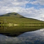
(Pictured above: Elkford.)
No conditions reported.

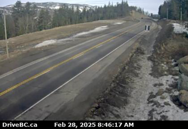
(Pictured above: Highway 43 at Line Creek.)
No conditions reported.
Highway 3
Sparwood to B.C. and Alberta Border

(Pictured above: Highway 3 east of Sparwood.)
No conditions reported.
Sparwood to Fernie
No conditions reported.
Fernie to Elko

(Pictured above: Highway 3 at Morrissey, west of Fernie.)
No conditions reported.
Highway 3/93
Elko to Cranbrook

(Pictured above: Highway 3 and 93 junction at Elko.)
No conditions reported.
Highway 3/95
Curzon Junction to Cranbrook

(Pictured above: Highway 3/95 at Irishman Creek.)
No conditions reported.
(Pictured above: Highway 3/95 near Moyie.)
No conditions reported.
Highway 93/95
Fort Steele to Canal Flats

(Pictured above: Highway 93/95 and Highway 95 A junction at Wasa.)
No conditions reported.
Canal Flats to Radium Hot Springs
 (Pictured above: Highway 93/95 at Canal Flats.)
No conditions reported.
Highway 95A
Cranbrook to Kimberley

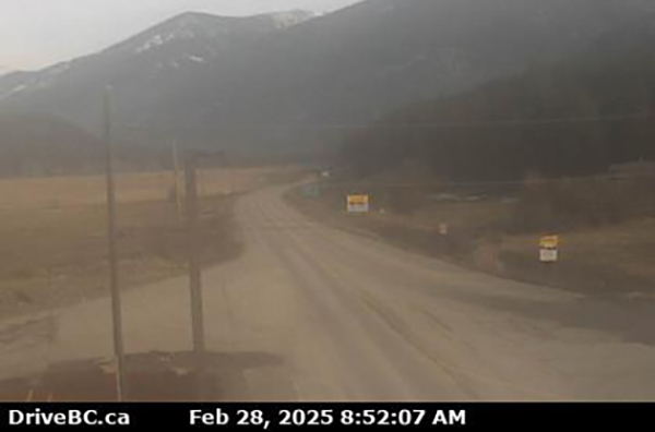
(Pictured above: Cranbrook.)
No conditions reported.
Kimberley to Wasa Junction

(Pictured above: Highway 95A in Kimberley)
No conditions reported.
Highway 93
Radium Hot Springs to Alberta Border

(Pictured above: Radium Hot Springs roundabout.)
Watch for slippery sections. Avalanche control work planned between Kootenay Crossing Warden Station and Marble Canyon Campground for 30.1 km starting Mar. 1 at 11 a.m. until 12 p.m. Highway will be closed from B.C./AB border to Marble Canyon.
US/Montana border to Highway 3
(Pictured above: Roosville Border Crossing Highway 93.)
No conditions reported.
Highway 95
Radium Hot Springs to Golden

(Pictured above: Highway 95 at Brisco.)
No conditions reported.
Curzon Junction to Kingsgate

(Pictured above: Highway 3 and 93 Curzon Junction at Yahk.)
No conditions reported.

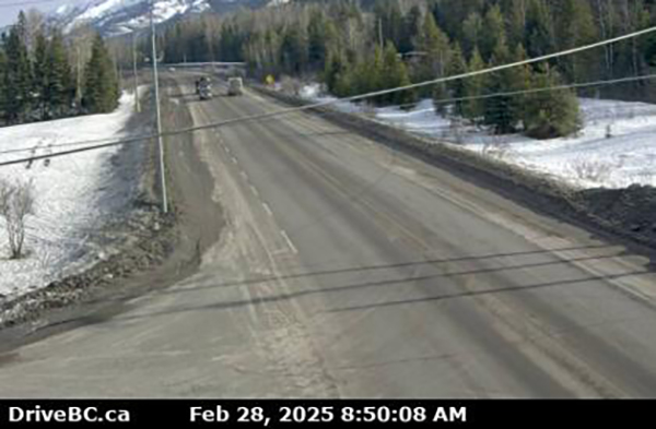
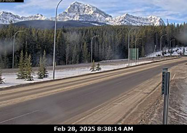
(Pictured above: Kootenay Pass/Highway 3.)
Watch for slippery sections between Tailings Road and Cook Street for 68.9 km (14 km east of Salmo to Creston).

(Pictured above: Toby Creek Road near Panorama Mountain Resort.)
Frost heaves; watch for falling rocks.
(Pictured above: Highway 1 at Castle Mountain Junction.)
PLEASE NOTE: Information contained in this report is taken from DriveBC and over the period of the day may become obsolete. Please consult DriveBC for the most up-to-date information. Or check e-KNOW’s home page to see regional highway cameras.
Lead image: Highway 3 at Hosmer. Images from DriveBC
e-KNOW